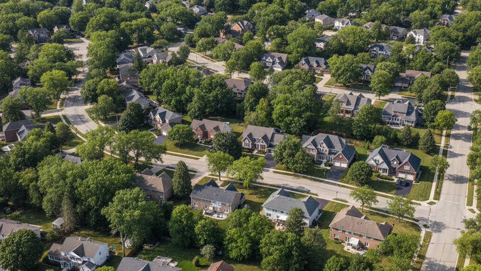
When evaluating homes for sale in Rochester Hills, understanding the local transportation network is a critical step for buyers. This Oakland County city covers a wide footprint, blending dense commercial corridors with expansive residential subdivisions. Knowing how to efficiently navigate these zones makes daily life significantly easier.
Finding the best routes requires knowing which primary arteries handle the heaviest traffic and where alternative paths can save you time. Whether you are commuting to a corporate headquarters or exploring local greenways, getting around Rochester Hills MI depends on understanding your transit options. The local infrastructure offers a mix of major highways, expanding public transit, and extensive trail networks.
The Core Layout: Driving in Rochester Hills
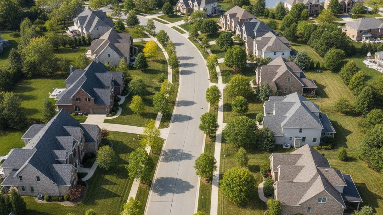
The street network in this area operates on a reliable grid system that makes navigation straightforward for new residents. Major east-west routes like Hamlin Road intersect with prominent north-south arteries, most notably Rochester Road. This layout distributes daily traffic efficiently across the municipality.
Proximity to regional highways is a major factor in local real estate values, with the M-59 corridor anchoring the southern border. Drivers also have convenient access to I-75, providing a direct pipeline for longer regional travel across Metro Detroit. Buying a property near these access points drastically reduces cross-town driving time.
Local infrastructure generally handles daily volume well, though traffic predictably spikes near major commercial zones during peak retail hours. For those working locally, typical drive times to neighboring employment centers in Troy, Auburn Hills, and Pontiac hover around 15 to 25 minutes. Planning errands around these peak times is a common strategy for locals.
Understanding traffic patterns along Rochester Road is essential for anyone relocating to the area. This primary commercial artery hosts numerous shopping centers, meaning midday and weekend traffic requires extra navigation time. Buyers often look for homes tucked away in subdivisions that offer secondary access routes.
The presence of modern roundabouts in certain intersections has also improved the flow of local traffic. These infrastructure upgrades help reduce congestion during morning school drop-offs and evening commutes. It is a clear indicator of the municipality investing in long-term transit solutions.
Commuting to Downtown Detroit and Local Hubs
Many residents travel into the city center for work or entertainment, covering an approximate 31-mile commute to Downtown Detroit. This drive averages 35 to 45 minutes by car, depending heavily on the flow of traffic along I-75. Morning southbound lanes and evening northbound lanes see the highest congestion.
Healthcare workers and patients frequently travel to Ascension Providence Rochester Hospital, which sits centrally located on West University Drive. Meanwhile, professionals working in the adjacent corporate centers of Auburn Hills enjoy a brief 10 to 15-minute daily drive. Living in Rochester Hills offers a distinct logistical advantage for those employed in these nearby hubs.
For drivers who prefer to avoid the interstate, Woodward Avenue provides a historic alternative route straight into Detroit. While this surface street adds time to the trip, it offers a more predictable pace during severe highway backups. Having multiple route options is a significant benefit for daily commuters.
The proximity to massive automotive and tech headquarters in the region cannot be overstated. Living in the area places professionals within a highly manageable distance from these major economic drivers. This logistical advantage consistently supports strong property values across the local market.
Public Transit Options in Oakland County
While the suburban landscape is heavily oriented toward personal vehicles, regional public transport options have expanded in recent years. The Suburban Mobility Authority for Regional Transportation serves as the primary public transit provider for the area. Their network provides essential connectivity for residents without private vehicles.
These services actively connect the suburban layout with broader regional employment hubs. For on-demand transport to local destinations, residents frequently rely on ridesharing companies like Uber and Lyft. This combination of scheduled and on-demand transit creates a flexible transportation environment.
Having access to these layered transit networks offers practical alternatives for people who prefer not to drive daily. It ensures that navigating Oakland County remains accessible regardless of vehicle ownership. Buyers often factor this accessibility into their neighborhood selection process.
The integration of public transit with local infrastructure allows residents to reduce their carbon footprint. Dedicated bus stops are strategically placed near major apartment complexes and retail centers for maximum accessibility. This thoughtful placement encourages more frequent use among the local population.
Funding for these regional transit initiatives continues to be a priority for Oakland County. Future expansions aim to increase frequency and add express routes tailored for major commuter corridors. Staying informed about these transit developments is helpful when evaluating long-term property investments.
Navigating SMART Bus Route 492
For those using the local bus system, SMART Route 492 is the primary line servicing the immediate area. This specific path is highly utilized by university students and healthcare workers commuting across county lines. Understanding its schedule can completely change how you approach local transit.
The route offers several key advantages for daily riders looking for consistent transportation:
- It connects Oakland University in Auburn Hills through Troy and Royal Oak, terminating at the State Fair Transit Center in Detroit.
- Buses operate on a reliable schedule running Monday through Saturday from early morning until late evening.
- Riders pay an approximate $2 standard fare, which includes a convenient 4-hour transfer window.
- The route provides car-free access to Downtown Rochester, local shopping centers, and medical facilities.
Airport Transfers and Rideshares
Reaching Detroit Metropolitan Wayne County Airport requires planning, as the facility sits approximately 45 to 50 miles south of the city. Drivers typically take I-75 south to I-94, with an average drive time of 50 to 55 minutes under normal conditions. Frequent flyers quickly become accustomed to this standard route.
Travelers have access to multiple private airport shuttles, executive car services, and rideshare apps for these trips. It is always advisable to factor in heavy regional traffic during morning rush hours when booking a departure pickup. Adding an extra 30 minutes to your travel estimate prevents unnecessary delays.
For those who prefer to drive themselves, DTW offers extensive long-term parking facilities with continuous shuttle service to the terminals. Many residents find that utilizing off-site parking vendors near the airport provides a cost-effective alternative to ridesharing. Comparing these options helps travelers optimize their transit budgets.
Regional transit authorities are also exploring future rapid transit connections to the airport, though personal vehicles remain the current standard. Until those infrastructure projects materialize, planning ahead is the best strategy for catching a flight. Navigating this 50-mile stretch becomes second nature once you settle into the area.
Non-Motorized Transit: Trails and Walkability
Beyond roads and highways, the city maintains a strong commitment to cycling infrastructure and pedestrian access. Dedicated crosswalks and modern pedestrian signals are standard features near major retail centers and school campuses. These additions make crossing multi-lane roads significantly more practical.
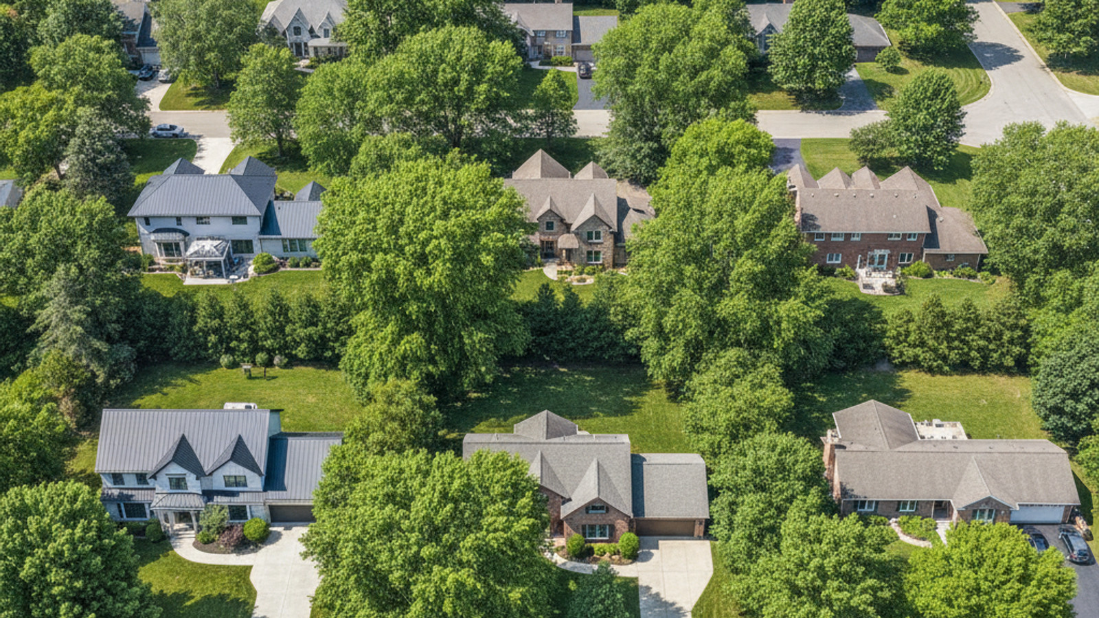
Local paved paths successfully connect residential subdivisions directly to municipal parks and commercial districts. This design allows residents to easily transition from suburban driving to highly walkable retail areas. Non-motorized infrastructure is a major selling point for buyers prioritizing outdoor recreation.
The Village of Rochester Hills serves as a prime example of this pedestrian-focused planning, offering a central hub for shopping and dining. Nearby, the historic streetscape of Downtown Rochester provides another highly walkable destination accessible via local pathways.
Cycling infrastructure extends beyond the major trails, with many neighborhoods featuring wide, paved shoulders. This design accommodates casual riders and pedestrians who want to navigate close to home. The emphasis on outdoor connectivity is a major draw for buyers exploring the local market.
During the summer months, the volume of foot and bike traffic increases substantially around local parks. The city actively maintains these pathways, ensuring they remain clear of debris and accessible for all non-motorized users. This level of municipal upkeep protects the community’s investment in its green spaces.
The Paint Creek and Clinton River Trails
Two major regional trail systems intersect the municipality, functioning as essential recreational assets. They also serve as alternative commuter routes during warmer months for those who prefer cycling. These unpaved and paved stretches are deeply integrated into the local culture.
Exploring these networks reveals exactly why the area is celebrated for its outdoor amenities:
- The Paint Creek Trail offers an 8.9-mile linear park built on a former rail line, providing a scenic route for biking and walking.
- The Clinton River Trail spans approximately 16 miles through central Oakland County, linking directly to neighboring cities.
- Both trails feature graded surfaces that accommodate cyclists looking to avoid major motorized roadways.
Frequently Asked Questions About Getting Around Rochester Hills
Can I get around Rochester Hills without a car?
While it is possible to navigate the area without a car, personal vehicles remain the most efficient mode of transit. Residents can utilize SMART bus routes and extensive trail networks for specific trips, but daily errands often require navigating distances of 5 to 10 miles. Owning a vehicle provides the greatest flexibility in this suburban environment.
Are there taxis or ride-sharing services like Uber in Rochester Hills?
Yes, ridesharing services like Uber and Lyft operate extensively throughout the city and surrounding Oakland County. Wait times are generally under 15 minutes for local pickups, providing a reliable option for trips to nearby restaurants. These services are also frequently used for the 45-mile journey to the regional airport.
Does Rochester Hills have a downtown area?
Rochester Hills itself features the highly walkable Village of Rochester Hills, which operates as an outdoor lifestyle center rather than a traditional downtown. However, it completely surrounds the city of Rochester, where residents have immediate access to historic storefronts. This proximity gives residents the benefit of a classic downtown environment just minutes away.