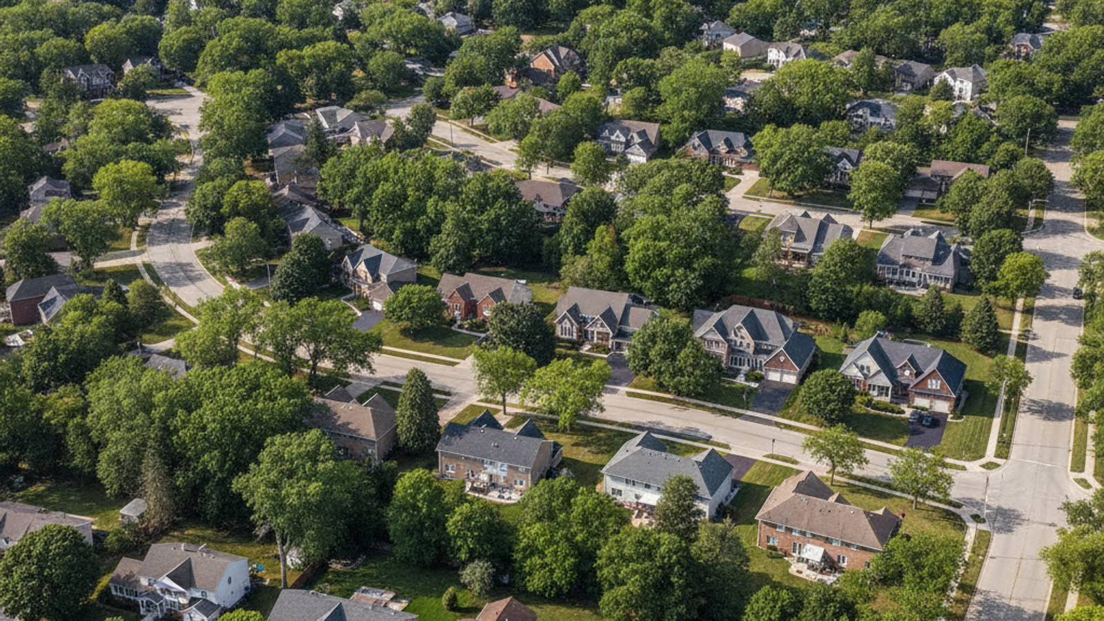
Navigating the northern suburbs of Oakland County requires a solid understanding of the local road networks. For buyers exploring homes for sale in Independence Township, evaluating daily drive times is just as important as inspecting property lines. This area relies heavily on a few major arteries to connect residential neighborhoods with regional employment centers.
Knowing the logistical layout of this community helps buyers make informed decisions about where to settle. Whether you are driving south toward downtown Detroit or navigating local commercial corridors, the township offers a distinctly suburban transit experience. Getting around Independence Township MI effectively simply requires learning the primary routes and rush-hour patterns.
Major Highways and Thoroughfares
The local road network dictates traffic flow and daily convenience throughout the township. Interstate 75 serves as the primary north-south artery, slicing directly through the area and connecting residents to the rest of Oakland County. This highway is the backbone of regional travel for most local commuters.
Running parallel to the interstate is Dixie Highway, also known as US-24. This expansive surface street operates as the main commercial corridor, lined with retail centers, grocery stores, and local businesses. Traffic here flows steadily, though volume increases notably during the afternoon rush.
Buyers should carefully consider their proximity to these main roads when evaluating properties. Choosing a home situated within roughly two miles of a major thoroughfare drastically reduces daily transit friction. Properties tucked deeper into the winding subdivisions offer tranquility but will add five to ten minutes to any outbound trip.
Sashabaw Road and M-15
Internally, Sashabaw Road acts as the primary corridor for accessing local entertainment, dining, and shopping districts. This multi-lane road handles significant volume, especially during the summer concert season or winter ski months. Navigating this stretch requires a bit of patience on event nights.
On the western side of the township, M-15 runs directly through the historic Village of Clarkston. Designated as a Pure Michigan Byway, this route offers scenic views but is prone to heavy congestion during the morning commute and local festivals.
Commuting to Southeast Michigan Employment Hubs
A buyer’s exact location within the township significantly affects the overall morning commute. Because the municipality covers roughly 36 square miles, living near the southern border versus the northern edge changes drive times noticeably. This northern positioning creates a distinct suburban environment that feels far removed from the dense inner-ring Detroit suburbs.
Many residents travel daily to major corporate centers in neighboring cities. The slightly longer commute to Detroit or Troy is easily offset by the immediate access to vast outdoor recreation and larger residential lot sizes. Buyers routinely accept a bit more windshield time in exchange for the township’s expansive natural features.
Drive Times to Detroit, Troy, and Auburn Hills
Commuting to Auburn Hills is highly efficient, requiring an approximate 11-mile drive that typically takes just 14 minutes. Reaching the corporate offices in Troy involves a 20-mile trip down I-75, averaging roughly 23 to 25 minutes during standard traffic conditions.
For those working in the city center, the commute to downtown Detroit covers 36 to 41 miles depending on the specific route. This drive averages 40 to 55 minutes, though winter weather or interstate construction can easily push that travel time past the hour mark.
Airport Accessibility from Independence Township
Residents have two primary options when booking flights for business or leisure. The township’s location between Flint and Detroit provides strategic choices depending on the airline and destination. Evaluating both airports can lead to significant savings in both time and parking costs.
Detroit Metropolitan Wayne County Airport operates as the major international hub, offering direct flights globally. Conversely, Flint Bishop International Airport serves as a highly convenient, low-stress alternative for domestic travel.
Frequent domestic travelers should prioritize Bishop International Airport to save significant driving and parking time. Navigating the smaller terminal in Flint is remarkably faster than maneuvering through the massive infrastructure of Detroit Metro.
Flint Bishop and Detroit Metro
Driving north on I-75 to Flint Bishop International Airport covers approximately 26 miles. This straightforward commute takes roughly 26 to 27 minutes and rarely experiences severe traffic delays.
Traveling south to Detroit Metropolitan Wayne County Airport involves a 45 to 50-mile journey. Commuters should expect this drive to take 55 to 67 minutes, and it is crucial to account for rush hour traffic when merging onto I-94 or I-275.
Public Transit and Specialized Local Transportation
Independence Township operates primarily as a car-dependent suburban municipality. The expansive layout and separation between residential neighborhoods and commercial zones make personal vehicles a necessity. Sidewalks exist in certain areas, but walking to the grocery store is not feasible for the majority of residents.
Regional public transportation is highly limited in this sector of Oakland County. Standard SMART bus fixed routes do not extend deeply into the township, meaning traditional bus commuting is not an option.
Homebuyers moving from dense urban centers must factor the cost of vehicle ownership into their relocation budget. Relying on ride-share applications for daily errands will quickly become cost-prohibitive given the distances between local destinations.
North Oakland Transportation Authority (NOTA) and Senior Services
While general public transit is lacking, the North Oakland Transportation Authority provides essential rides for specific demographics. This service supports seniors aged 55 and older, disabled residents, veterans, and low-income individuals for a nominal fee of roughly $2 per stop.
Additionally, the local Senior Community Center operates a dedicated mini-bus service. Eligible residents can schedule one-way rides to local destinations for about $3, or secure transportation to nearby regional hospitals for approximately $5.
Walkability, Bike Paths, and Non-Motorized Transit
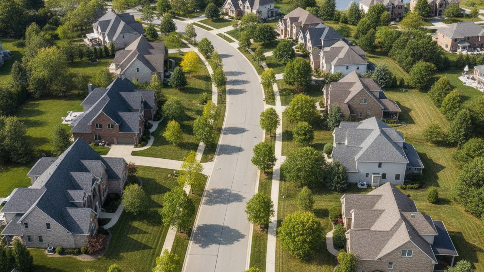
Pedestrian infrastructure varies significantly depending on the specific neighborhood. Many of the newer subdivisions feature interior sidewalks, while older roads may lack paved shoulders entirely. The township continues to invest in connecting residential corridors with dedicated safety paths.
The adjacent Village of Clarkston offers the highest concentration of traditional walkability. Its historic downtown features continuous sidewalks, crosswalks, and closely clustered storefronts that encourage foot traffic.
For recreational riders, the area requires a strategic approach to route planning. Cyclists will find the dedicated county trail systems far superior to riding on the shoulders of the township’s high-speed surface roads.
Safety Paths and Trail Connectivity
The municipality is actively expanding safety paths to connect sprawling neighborhoods directly to commercial centers. These paved, multi-use paths provide a secure buffer from vehicular traffic for joggers and casual bikers.
Serious outdoor enthusiasts frequently utilize the non-motorized trail network within Independence Oaks County Park. Furthermore, the township’s location provides excellent proximity to larger regional rail-trails in Oakland County for long-distance cycling.
Navigating to Key Local Amenities
Accessing daily necessities and world-class entertainment rarely requires leaving the township borders. The local infrastructure funnels traffic efficiently toward major commercial hubs. This self-contained convenience is a major draw for buyers exploring living in Independence Township.
The Sashabaw Road corridor is particularly dense with high-profile destinations. Both Pine Knob Music Theatre and Pine Knob Ski Resort are located directly off this route, drawing significant regional crowds year-round.
Purchasing a home near the Sashabaw corridor provides the highest concentration of immediate amenities. While the traffic can be heavier, the trade-off is having grocery stores, clinics, and premier entertainment venues just minutes from your driveway.
Parks, Recreation, and Healthcare Access
Understanding the exact distances to community staples helps buyers gauge the true convenience of a property. The township offers rapid access to several critical destinations:
- Independence Oaks County Park: Easily reached via Sashabaw Road, this massive park offers year-round outdoor access, including hiking and cross-country skiing.
- McLaren Clarkston: This comprehensive healthcare facility is positioned centrally on Bow Pointe Drive, ensuring rapid medical access from anywhere in the township.
- Commercial Corridors: Local shopping, dining, and hardware stores are concentrated heavily along the Dixie Highway stretch and within downtown Clarkston.
Frequently Asked Questions about Independence Township Transportation
Is downtown Clarkston walkable from Independence Township?
Yes, it is walkable if you live in the immediate adjacent subdivisions, but not from the township’s outer edges. Properties located within a one-mile radius of the Village enjoy easy pedestrian access via established sidewalks. Residents further out will need to drive and utilize the public parking lots near Main Street.
Does Independence Township have commuter rail access?
No, the township does not have direct commuter train service within its borders. Residents seeking regional rail travel typically drive roughly 12 miles south to the Pontiac Amtrak station. This station provides direct connections to the Wolverine line, which travels toward Chicago and Detroit.